What We Do
Services
Real Estate Aerial
Aerial photography and video that makes listings impossible to scroll past. We capture the property, the surrounding context, and the details that ground-level shots miss.
Inquire →Landowner Services
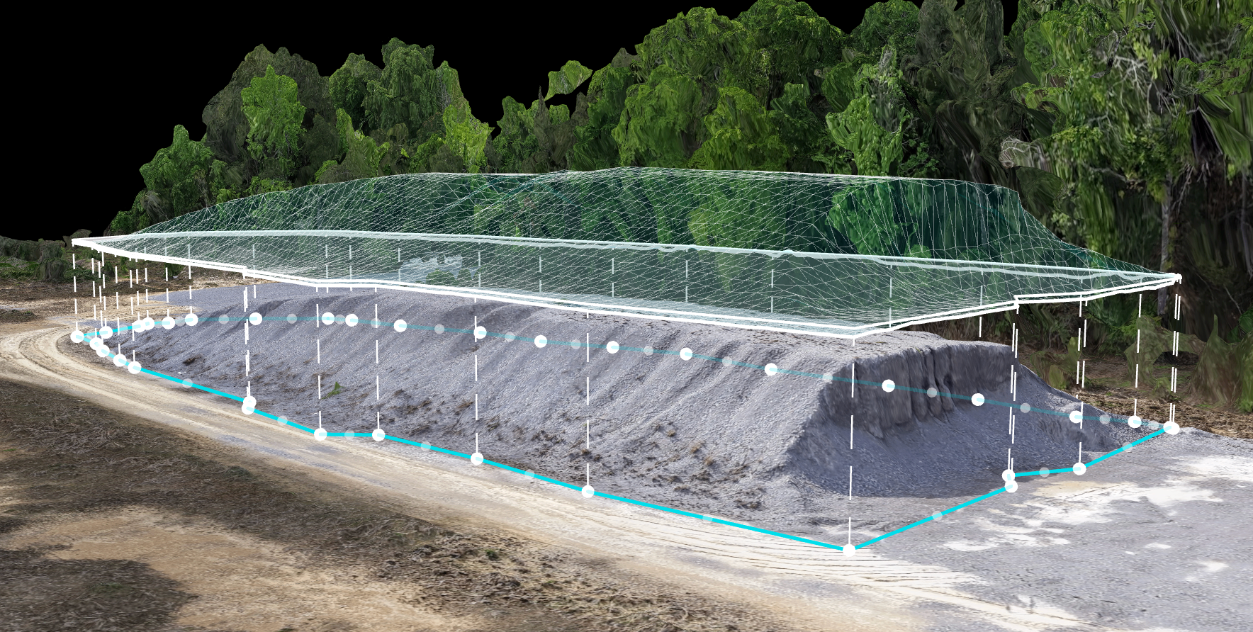
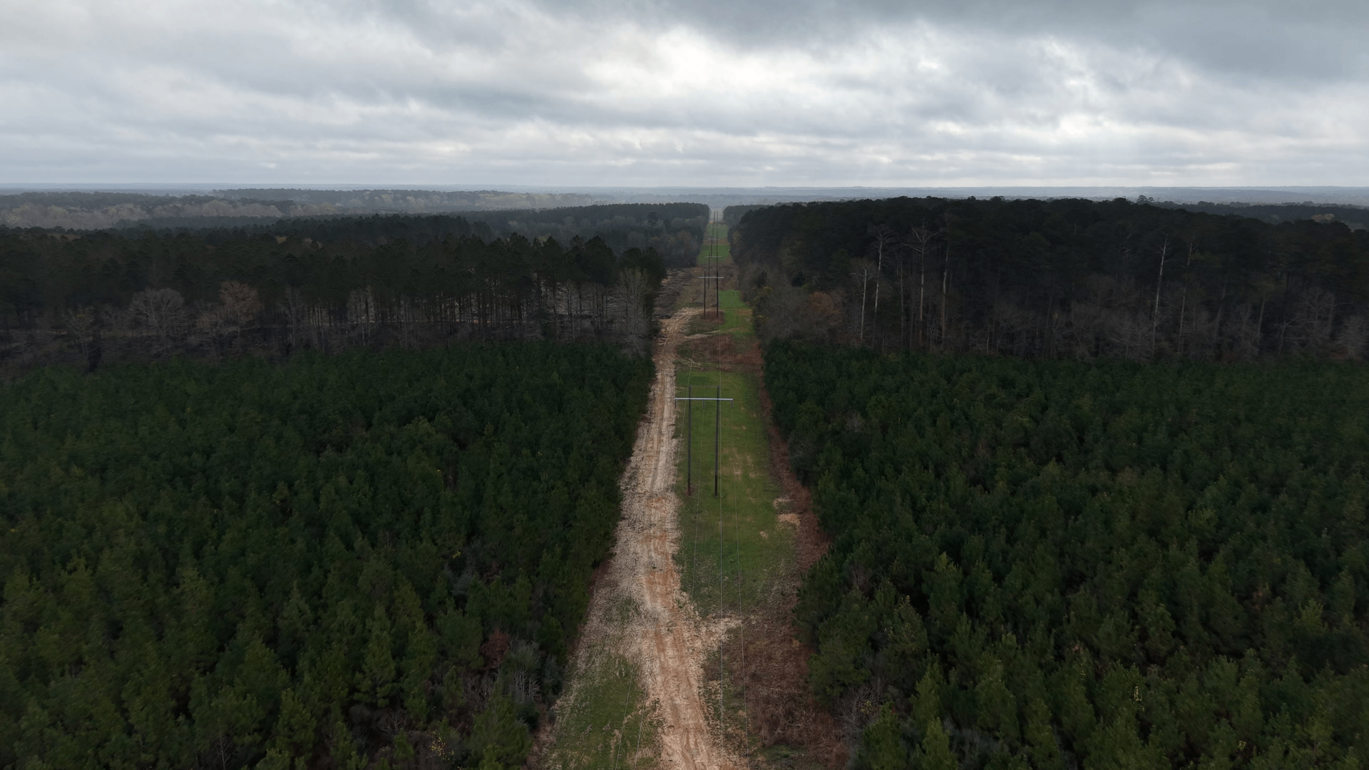
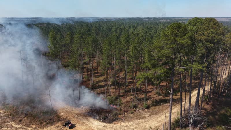
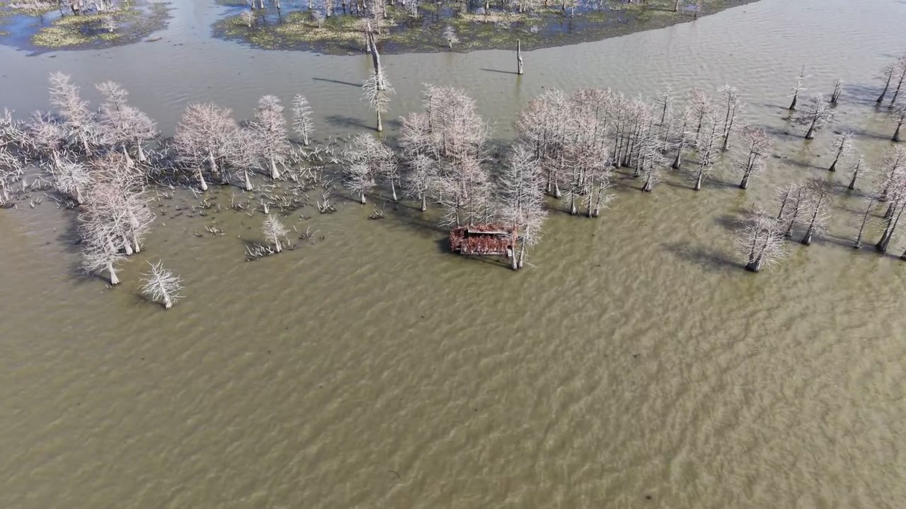
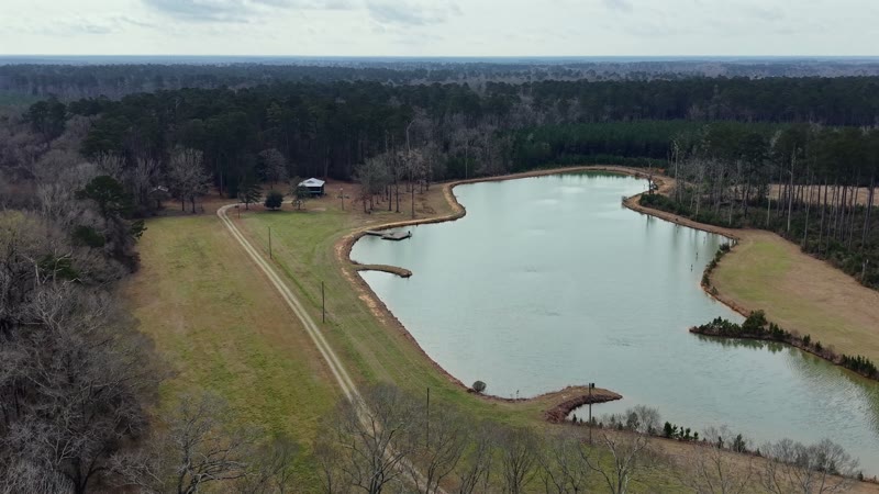
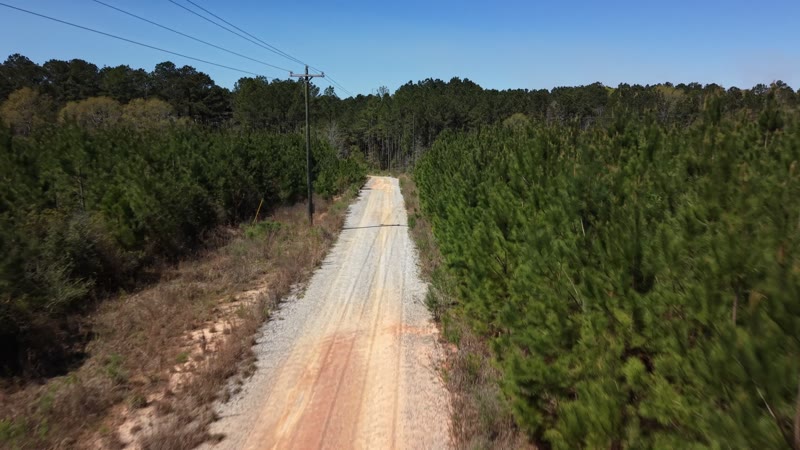
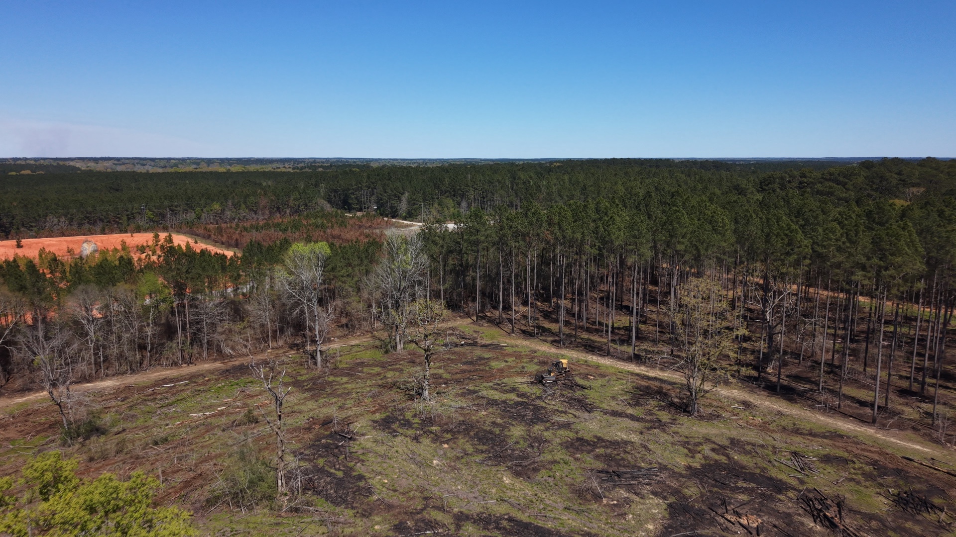
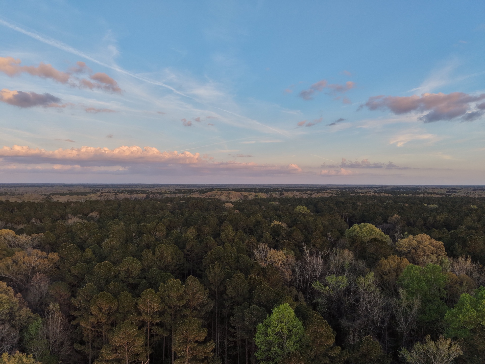
Boundary overlays, orthomosaic maps, thermal surveys, and cinematic flyovers for landowners, timber operators, and land managers. Know your property from every angle.
Inquire →Roofing Inspection
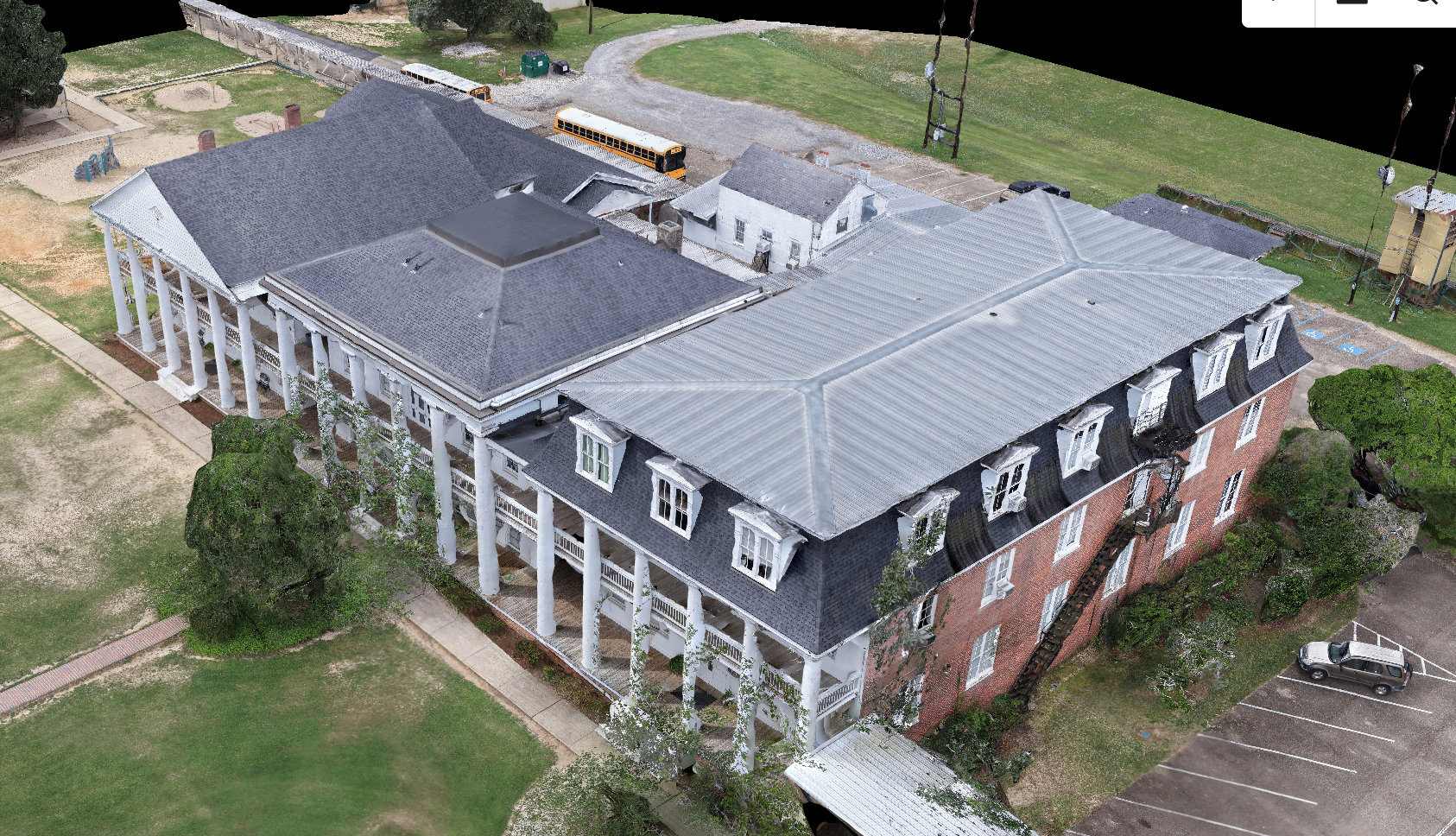
Detailed aerial documentation for roofing contractors and inspectors. Fast deployment, high-resolution imagery, and precise coverage — without putting anyone on a ladder.
Inquire →Commercial & Construction
Progress documentation, site mapping, and aerial data for general contractors and commercial operators who need the full picture from above.
Inquire →Our Work
Portfolio
Portfolio expanding — check back as we build.
About
Who We Are
Timberline Aerial Intelligence is a FAA Part 107 Certified drone services company built for the Gulf South. Founded by Samuel Kemp and Zach Ballard, we operate the DJI Matrice 4T with DroneDeploy — professional-grade hardware and software built for precision data capture. We deliver aerial photography, video, thermal imaging, and mapping data that helps real estate professionals, landowners, roofing contractors, and commercial operators see more and act with confidence.